- CA MUA MG 1022-3-015-0001
- Item
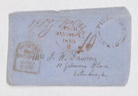
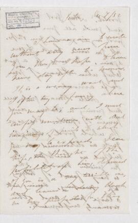
- 4 January 1853
Part of Dawson-Harrington Families Fonds
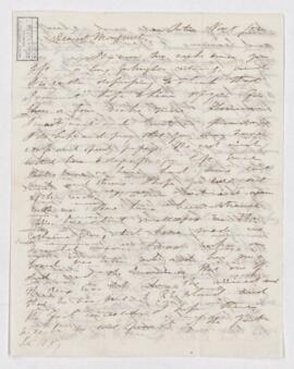
Letter from John William Dawson to Margaret Mercer Dawson.
Dawson, John William, Sir, 1820-1899
288 results with digital objects Show results with digital objects
Part of Dawson-Harrington Families Fonds
Letter from John William Dawson to Margaret Mercer Dawson.
Dawson, John William, Sir, 1820-1899
Part of Dawson-Harrington Families Fonds
Letter from John William Dawson to Margaret Mercer Dawson.
Dawson, John William, Sir, 1820-1899
Part of Dawson-Harrington Families Fonds
Letter from John William Dawson to Margaret Mercer Dawson.
Dawson, John William, Sir, 1820-1899
Part of Dawson-Harrington Families Fonds
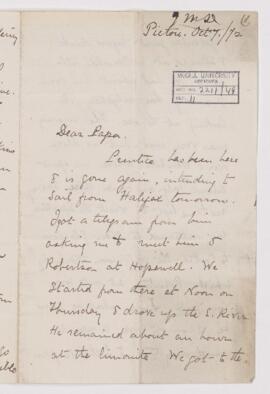
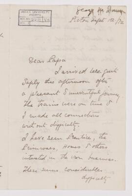
Letter from George Mercer Dawson to John William Dawson, written from Pictou.
Dawson, George Mercer, 1849-1901
Part of Dawson-Harrington Families Fonds
Letter from George Mercer Dawson to John William Dawson, written from Pictou.
Dawson, George Mercer, 1849-1901
Part of Dawson-Harrington Families Fonds
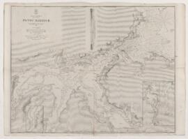
Map of Pictou Harbour. Includes the text: Surveyed by Captain W.H. Bayfield, assisted by Lieutenants J. Orlebar and G. A. Bedford; London, published according to Act of Parliament a the Hydrographic Office of the Admiralty March 25, 1850.
Map of Nova Scotia, and Prince Edward's Island /
Part of Dawson-Harrington Families Fonds
Consists of hand-coloured map.
A New Map of Nova Scotia and Prince Edward Island /
Part of Dawson-Harrington Families Fonds
Published volume contains fold-out hand-coloured map of Nova Scotia and Prince Edward Island (Third edition), printed by James Dawson. Also tipped into cover is a map of New Brunswick printed on onion skin paper compiled by George Perley. Laid in is a third map, hand drawn on onion skin paper of what appears to be Joggins' shore.
Part of Dawson-Harrington Families Fonds
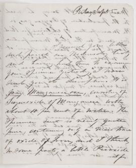
Letter to Johnston from John William Dawson, written from Pictou.
Dawson, John William, Sir, 1820-1899
Part of Dawson-Harrington Families Fonds
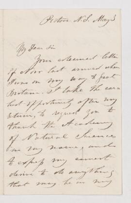
Letter to Errol Boyd from John William Dawson, written from Pictou, N.S.
Dawson, John William, Sir, 1820-1899