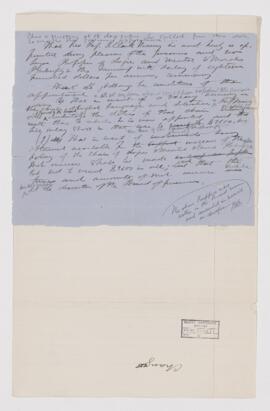
The Murray File, original draft and appointment of Murray
- CA MUA MG 1022-2-3-0049
- File
- 1872
Part of Dawson-Harrington Families Fonds
This file contains manuscript notes about J. Clark Murray and his appointment.
29838 results with digital objects Show results with digital objects
The Murray File, original draft and appointment of Murray
Part of Dawson-Harrington Families Fonds
This file contains manuscript notes about J. Clark Murray and his appointment.
Part of Dawson-Harrington Families Fonds
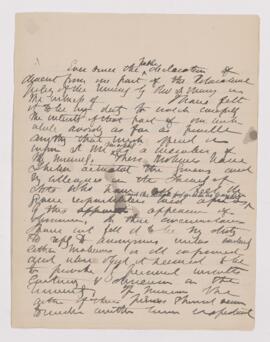
This file contains correspondence related to Prof. J. Clark Murray.
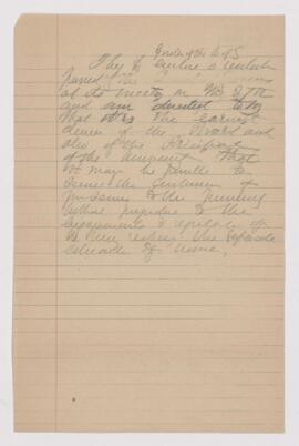
The Murray File, attitude on Murray
Part of Dawson-Harrington Families Fonds
This file contains manuscript notes about public attitudes toward Prof. J. Clark Murray.
Part of Dawson-Harrington Families Fonds
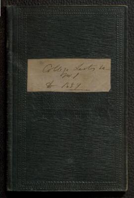
This file contains a bound volume with manuscript notes about academic expenses and lists of students. Includes some clippings from newspapers and university calendars.
Part of Dawson-Harrington Families Fonds
Folder missing; no description included in original database.

Notes McGill Governors and Chancellors, J.W. Dawson Membership of Societies
Part of Dawson-Harrington Families Fonds
This file contains a manuscript documents titled “Governors of McGill University,” “Membership of Societies,” and “Former chancellors,” and an envelope addressed to “Hugh McLennan Esq., Regards of J.W. Dawson.”
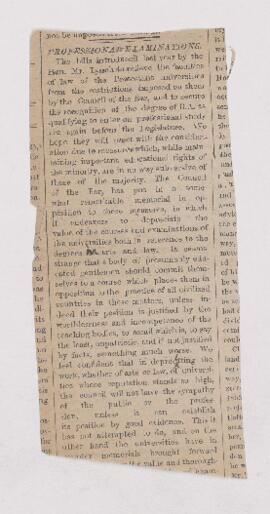
Petitions to the Quebec Legislature relating to Professional Examinations at McGill University
Part of Dawson-Harrington Families Fonds
This file contains printed documents and newspaper clippings.

By-laws, Rules and Regulations for the Management of the University Lying-in Hospital
Part of Dawson-Harrington Families Fonds
This file contains a printed booklet.

History and Prospects of Protestant Education in Lower Canada
Part of Dawson-Harrington Families Fonds
This file contains a printed address given by J.W. Dawson.
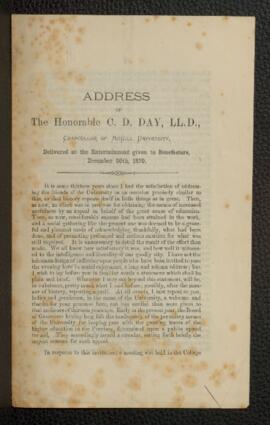
Address of the Honorable C.D. Day, Delivered at the Entertainment Given to Benefactors
Part of Dawson-Harrington Families Fonds
This file contains a printed address.