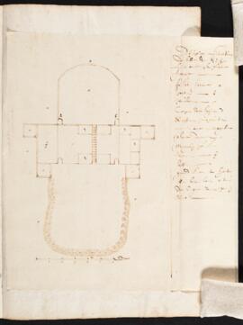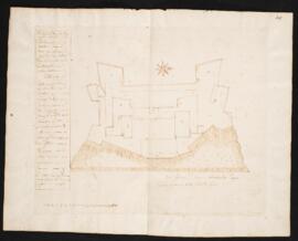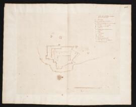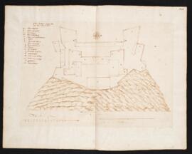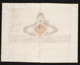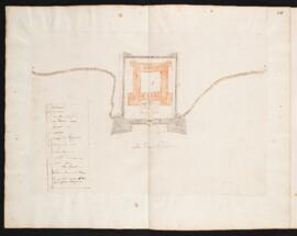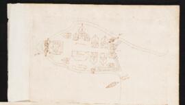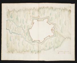
CA RBD MSG 1332-3
·
Item
·
between approximately 1635 and 1642
Part of Jean Bourdon plans collection
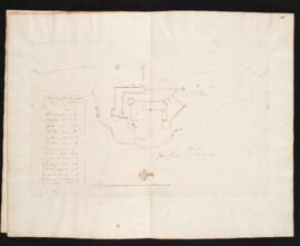
Manuscript aerial view of the platform and magazine of Quebec. Drawn in dark brown ink on laid paper. Includes a legend identifying parts. Statement of scale is 20 toises.